Beyond the Nominal
Providing Industry Leading Geomatics’ Services Worldwide
Experienced
With decades of experience and thousands of jobs completed across 5 continents there’s no better crew to trust with your project.
Tools & Services
From trackers to aircraft to cameras and more, we maintain the latest equipment to ensure you are provided to best data available.
Accuracy & Precision
Dimensional Geomatics’ proven workflow, experience and thorough QA/QC process guarantees you receive the most accurate data possible.
Superior World-Wide Support 24/7
What We Do
With decades of experience in dimensional control, metrology, laser scanning and sUAS/Drone operations, Dimensional Geomatics brings together a history of exceptional project execution. From a single technician to multiple crews in different locations we field highly-trained, quality and safety focused personnel for our projects.
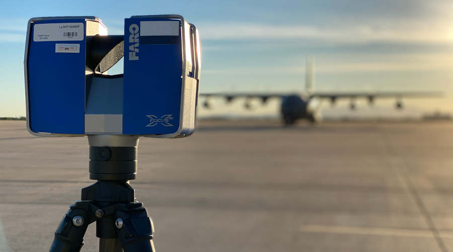
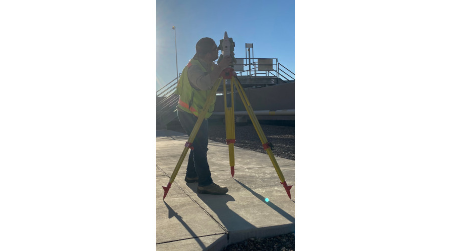
Terrestrial Laser Scanning
Whether it’s Scanning/Inspection Services, Onshore or Offshore, Refinery or Forensics, Dimensional Geomatics has the equipment, people, knowledge and contacts to fully tailor a solution to meet your needs. With 20+ years of experience and 24/7 global support we are just a phone call away.
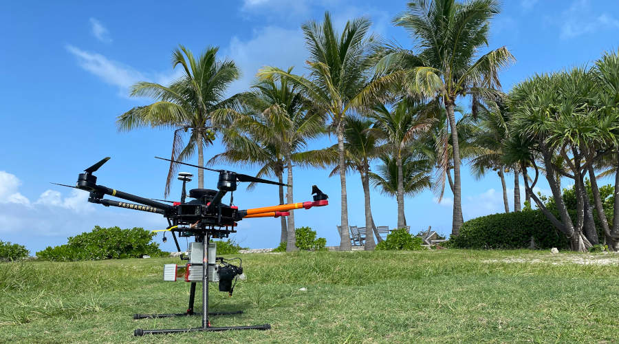
Aerial Lidar
With accurate and up to date lidar systems, we can “see through the trees” and accurately map your site. From 1 square acre to 1,000 square miles, we can provide you with the deliverables you need.
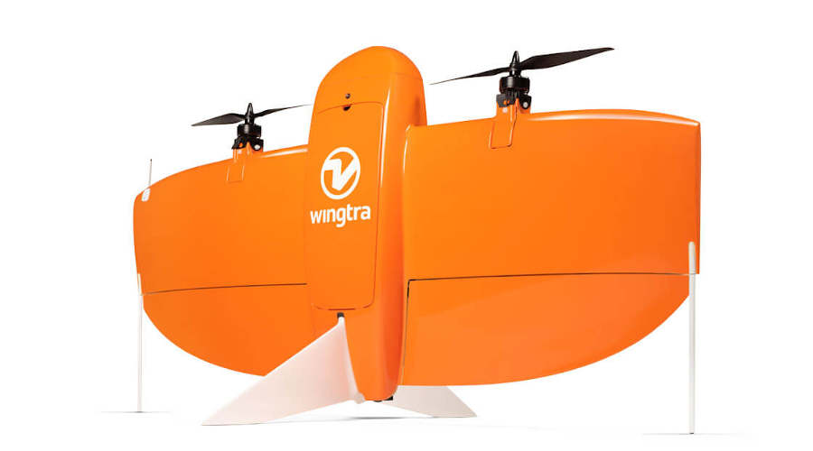
Photogrammetry
Utilizing nadir and oblique image capture, we can create numerous products with millimeter accuracy. Whether it’s unmanned data capture offshore or manned aircraft over miles, our team has you covered.
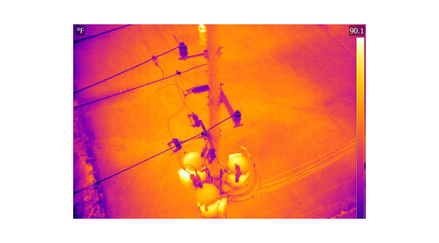
Thermal Inspection and Search & Recovery
Our team of FLIR Certified Thermographers can inspect the hard-to-reach area such as roofs, solar panel and utility equipment. We can also provide support in Search & Recovery operations.
BIM Modeling
Total asset management from data capture to turning your facility into an intelligent Revit model.
Dimensional Control
Accelerate fabrication timelines with part-to-part construction validation. We verify first fit up every time with the highest precision.
Metrology
We offer the highest level of quality control and alignment measurements with our fleet of state-of-the-art instruments including trackers and arms.
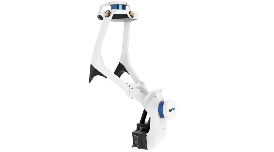
SLAM LiDAR
For the projects where mobile data capture is needed but GPS isn’t available, SLAM LiDAR is the solution. Our multiple NavVis VLX units can handle any environment you can throw at it.
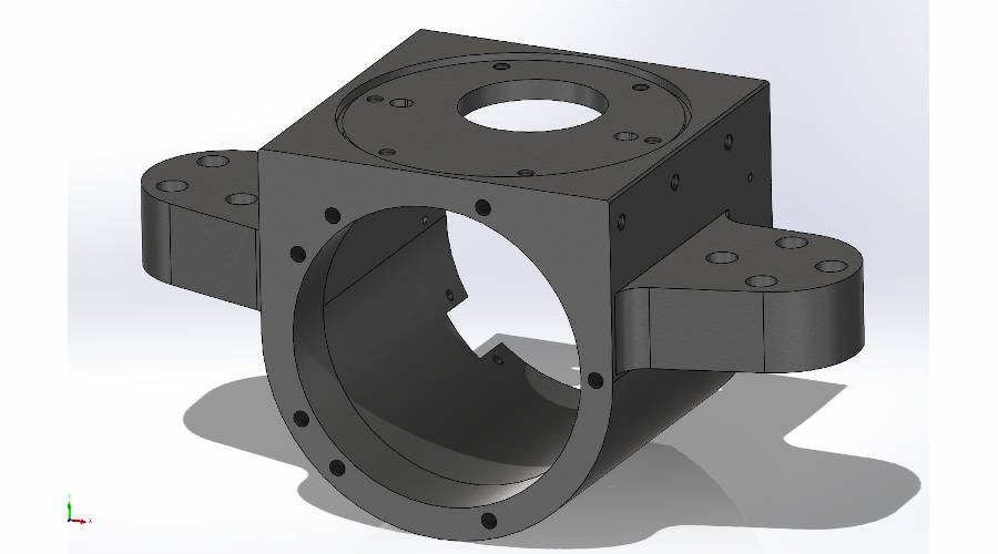
CAD Modeling
- ACAD
- CADWORX
- REVIT
- PLANT3D
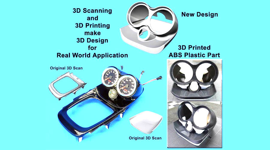
3D Printing
Turn your CAD Model into a PHYSICAL model. See your data in true form by getting it printed. We have multiple options available from SLA, to Polyjet to FDM, and more.
No Job is Too Big or Small
Our knowledgeable, experienced team is ready to help. When a project falls outside of your area of expertise or you just don’t have the equipment, staff or time to allocate to the job, let us step in and handle the details for you.
832.688.8005 (24/7)
12500 Castlebridge Dr., Houston, TX 77065
Office Hours. M-F: 8:30am - 5:30pm, S-S: Closed
Get Started
Don’t Let the Complexities of Your Project Burden You Any Longer
Dimensional Geomatics offers an immense range of industry-leading technologies. From metrology to terrestrial laser scanning and dimensional control to aerial Lidar and photogrammetry, we can bring a broad spectrum of specializations and instruments to bear on any project requirements.
From alignments of fan blades to laser scanning and 3D modelling of entire refineries, Dimensional Geomatics employs the personnel and tools to execute your projects to the highest levels of precision and accuracy.